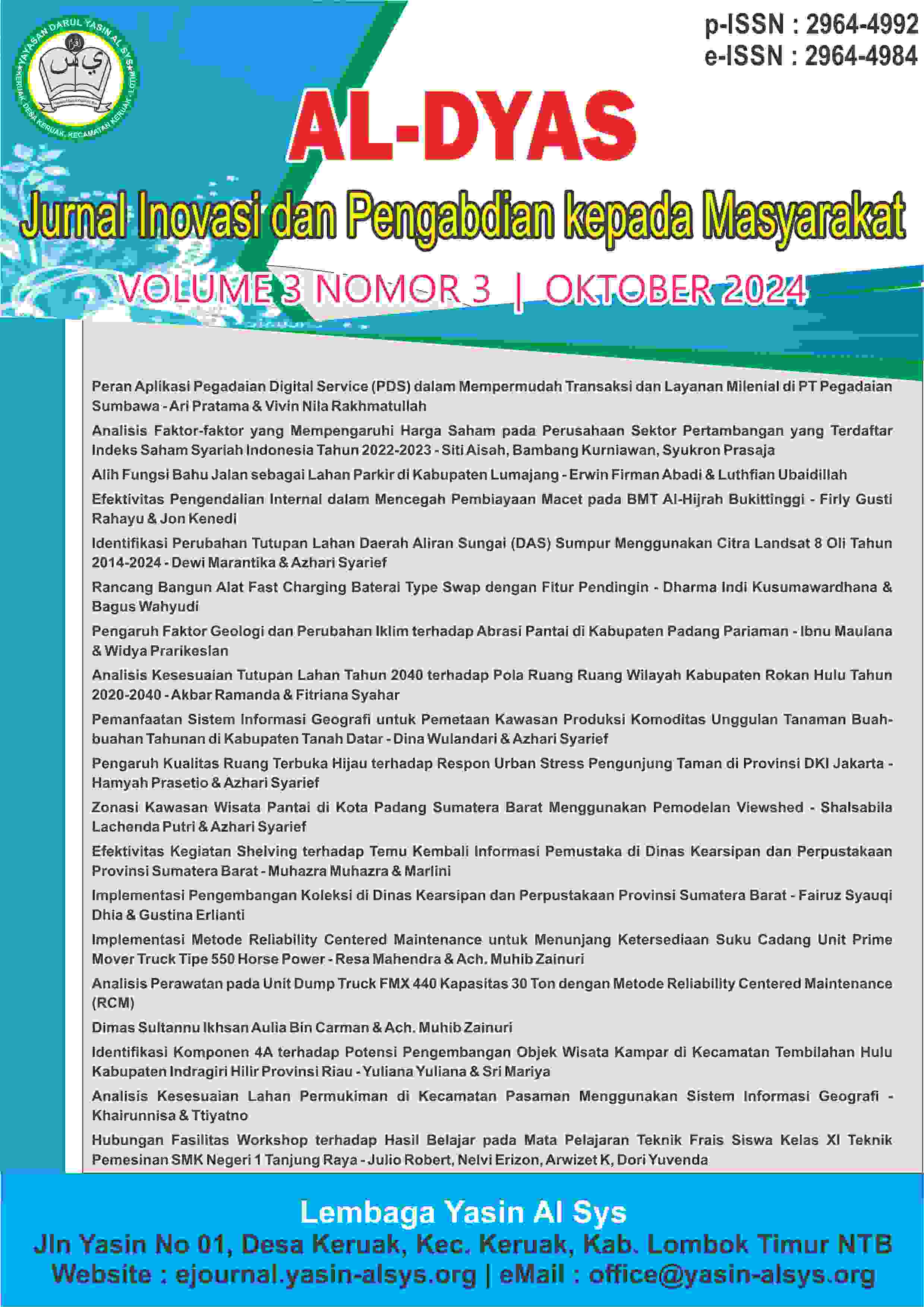
Analisis Kesesuaian Lahan Permukiman di Kecamatan Pasaman Menggunakan Sistem Informasi Geografis Analysis of Land Suitability for Settlement in Pasaman District Using Geographic Information Systems

Main Article Content
Abstract
Settlements are part of the living environment that functions as a residential environment. The conditions of a settlement greatly influence the survival of living creatures in that settlement. Spatial planning for a residential location needs to be based on various considerations to make it more appropriate and efficient, mSo there needs to be efforts to adapt the land, Therefore, the aim of this research is to analyze the level of suitability of residential land in Pasaman District using the method matching and spatial analysis, namely geographic information systems. Settlement land suitability analysis for Pasaman District is divided into 3 classes, namely suitability classes S2, S3, and N. For class S2, which is the land suitability class suitable for settlements, has an area of 16,105 Ha (37%), class S3 or suitable marginal with an area of 14,188.21 Ha (32%), and class N or not suitable with an area of 13,807.26 Ha (31%). The dominant inhibiting or limiting factors for land suitability classes in Pasaman District are slopes, river borders, road accessibility and flood vulnerability.
Downloads
Article Details

Authors retain copyright and grant the journal right of first publication with the work simultaneously licensed under a Creative Commons Attribution-NonCommercial-ShareAlike 4.0 International License that allows others to share the work with an acknowledgement of the work's authorship and initial publication in this journal.


